


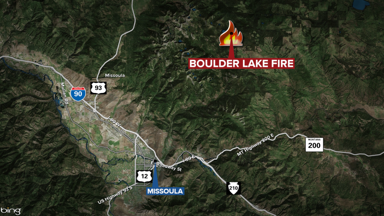
MISSOULA - The Boulder Lake Fire northeast of Missoula has grown slightly from 1,800 acres to 1,831 acres, according to the Friday update.
The lightning-sparked blaze is burning primarily in the Rattlesnake Wilderness.
Fire managers report that recent cooler and wetter weather has helped to moderate fire behavior.
MTN News
The south side of the fire is still producing smoke and some fire activity, including smoldering and creeping fire behavior.
The Gold Creek Cabin remains unburned.
Closed Areas
- Access is closed to Boulder Lake, Fly Lake, and Gold Creek Lake
- Gold Creek Cabin (Forest Service structure).
Closed Trails
- Boulder Lake Trail #333, from milepost 0.0 at junction with Road #4323 to milepost 5.4 at Boulder Lake
- Boulder Point Trail #334, from milepost 0.0 at junction with Trail #333 to milepost 0.2 at the end of the trail
- Fly Lake Trail #336, from milepost 0.0 at junction with Trail #518 to milepost 1.3 at Fly Lake
- Porcupine Creek Trail #504, from milepost 0.0 at junction with Rattlesnake Creek Trail #515 to milepost 4.1 at its junction with Trail #333
- Gold Creek Trail #518, from milepost 0.0 at trailhead on Road #16859 to milepost 4.9 at its junction with Trail #333
- Gold Cabin (Lower Gold Ridge) Trail #519, from milepost 0.0 at its junction with Trail #518 to the end of the trail.
Closed Roads
- Gold Creek Road NFSR #126, from milepost 10.1 at its junction with Road #2118 to the end of the road at milepost 12.5
- Gold Ridge Road NFSR #2118, from milepost 0.0 at junction with Gold Creek Road #126 to milepost 3.4 at the gate
- Gold Ridge Meadows Road NFSR #2121, from milepost 0.0 at junction with Gold Ridge Road #2118 to milepost 4.3 at the gate
- Upper Gold Peak Spur NFSR #16859, from junction with Road #2121 to the end of the road at milepost 1.2.
