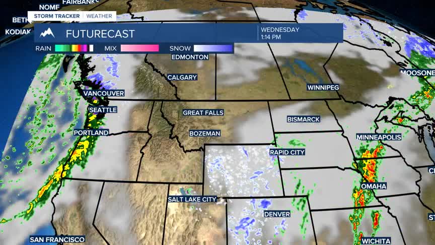
BOZEMAN – A cooler pattern will linger over the entire region this week into the upcoming weekend.
Temperatures will stay around 5 to 10 degrees cooler than normal.
A trough pattern is slowly developing over the Pacific NW and an area of Low-pressure is developing on the bottom of the trough. This Low will lift into Wyoming by Tuesday afternoon producing widespread snow across Wyoming and a better chance for mountain snow in SW Montana along the MT/WY state-line.
There are Winter Weather Advisories up for the Madison and Gallatin ranges and all of Yellowstone National Park through Tuesday evening. Accumulating snow around 1”-5” is possible at pass level and 6”-12” for higher peaks. This could impact travel conditions on US 191 from Big Sky to West Yellowstone Monday night into Tuesday morning.
Another Pacific system will bring a little bit of moisture back into SW Montana Thursday into Friday with most mountain ranges likely to see some snow and only a slight chance for valley rain or snow.


