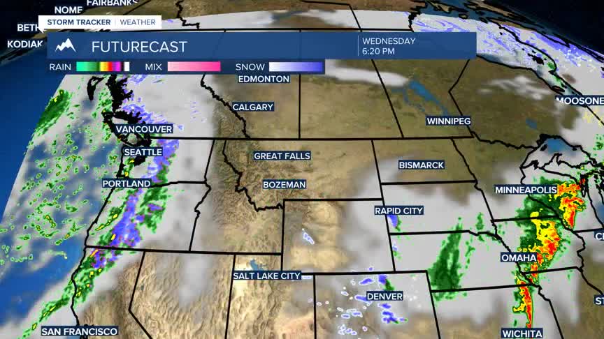
BOZEMAN – Temperature trends will continue to stay on the chilly side through next week. Another slow moving and deep trough will be developing over the Pacific NW Thursday through Sunday and this will continue to trap cool air over Montana.
There will be several chances for wrap around moisture bands around the surface Low to produce off and on snow showers over SW Montana.
The next round of mostly mountain snow will be Thursday evening into Friday and another Sunday and again early next week.
It’s about time we started to see a more seasonal change in the overall weather pattern.


