Today's Forecast: Your Monday will be among the warmest of the week under mostly cloudy skies. Winds will try to pick up for the late afternoon out of the southeast between 10-20 mph. Overnight temperatures will not fall off much as lows fall back slightly below freezing.
BOZEMAN: High: 54; Low: 33 Warmer and cloudy for the afternoon with winds picking up out of the southeast between 5-15 mph. The evening looks to stay dry with clouds thickening up overnight.
BUTTE: High: 49; Low: 29. Expect cloudy skies for most of the afternoon with winds out of the southeast between 10-20 mph.
DILLON: High: 54; Low: 32. Breezy and cloudy for most of the day with mild temperatures during the late afternoon.
WEST YELLOWSTONE: High: 54; Low: 26. Temperatures will warm quickly for the afternoon with highs peaking in the low and middle 50s. Look for mostly cloudy skies and winds out of the south between 10-20 mph.
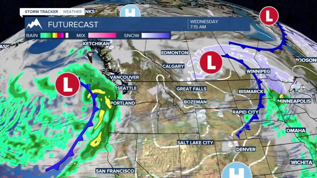
UNSETTLED WEEK AHEAD: While we will be dealing with slightly warmer temperatures this week, our pattern will be very unsettled. Monday will be cloudy and slightly below average for temperatures with snow or a rain/snow mix expected for Tuesday morning through the afternoon and evening.

A large low-pressure system will keep daytime lows below average late in the week with scattered cold showers moving in again for Thursday, Friday, into Saturday. Be prepared to see wintry weather with little accumulation in the valleys as highs fluctuate between the 40s and low 50s this week.