BOZEMAN – A building High-pressure ridge over the western U.S. will bring some of the hottest temperatures of the year across Montana and some lower valleys could reach the mid to upper 90s and some isolated triple digits.
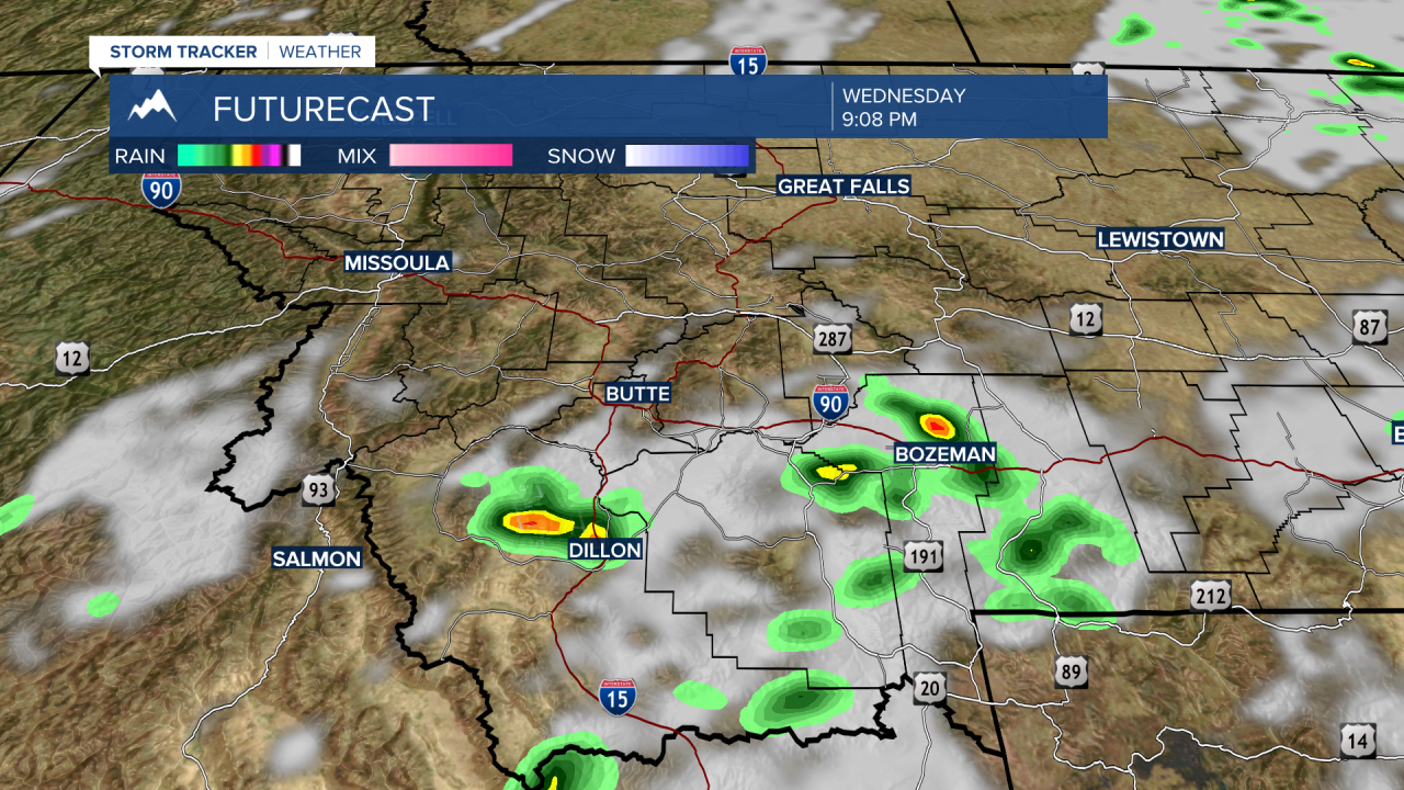
This is a classic mid-July pattern with a lot of heat trapped underneath this large dome of High-pressure. Thunderstorm chances will be very low with this pattern, however, subtropical moisture can lift into higher latitudes and produce a few rumbles.
This is possible Wednesday and Thursday across SW Montana with late afternoon through early evening thunderstorms possible. The worry with this type of pattern is dry thunderstorms with more lightning and very little rainfall which can produce new wildfire starts.

A word of caution with temperatures reaching the 90s in the late afternoon hours please use caution with all outdoor activities and watch for signs of heat exhaustion and heat stroke.


