


Today's Forecast: Your Monday temperatures are expected to warm to near 80° through the afternoon with full sunshine. Winds are expected to be light out of the west to northwest between 5-10 mph. Skies will be clear tonight early with a few clouds building into the area overnight. Lows will fall back to the 40s and 50s tonight and stay dry. This will mark the beginning of a warm and dry pattern.
BOZEMAN: High: 84; Low: 50. Expect temperatures to be near average with or a few degrees above average today under clear skies with light wind.
BUTTE: High: 83; Low: 44. Our skies will be clear and sunny as temperatures creep back to the lower 80s.
DILLON: High: 84; Low: 48. Above average temperatures will be in place for today under clear skies and a light westerly wind.
WEST YELLOWSTONE: High: 78; Low: 35. Clear skies and warmer temperatures are expected for the region. A few clouds will move into the area overnight.
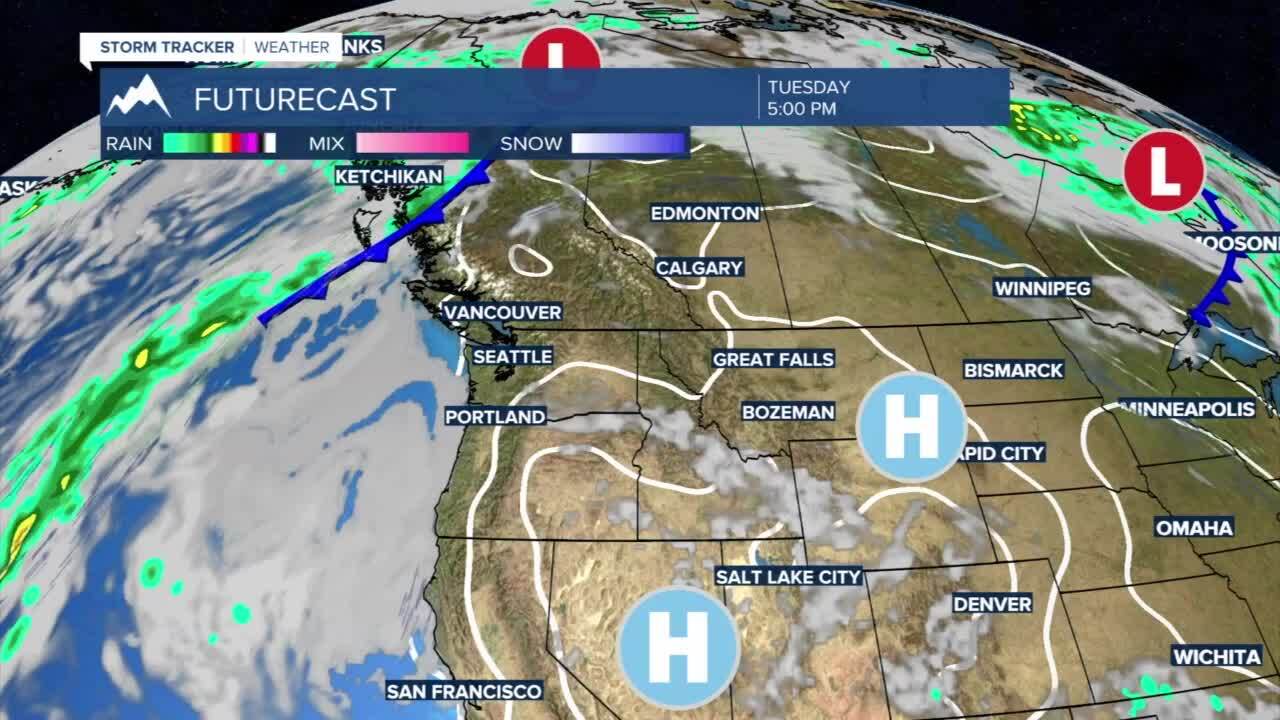
Hot Pattern Returns: High pressure will move across the area over the course of the next week and will allow our daytime highs to top out in the 90s bringing several days of record-setting heat. This pattern will also keep rain chances out of the region and leave Western Montana well below average for precipitation.
