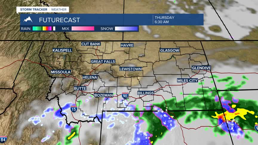


BOZEMAN – A weak disturbance will push into SE Montana tonight into Thursday with a high probability of rain and mountain snow. A little bit of moisture could clip SW Montana, especially east of the divide, from this disturbance with the southern end of Beaverhead, Madison, and Gallatin Counties picking up a few showers and higher mountain snow.
Another system appears to be on track for SW Montana Sunday into Monday. This storm system will bring scattered showers, a few thunderstorms, and more high mountain snow along with cooler temperatures.
This system will likely impact all of SW Montana late weekend into early next week.
